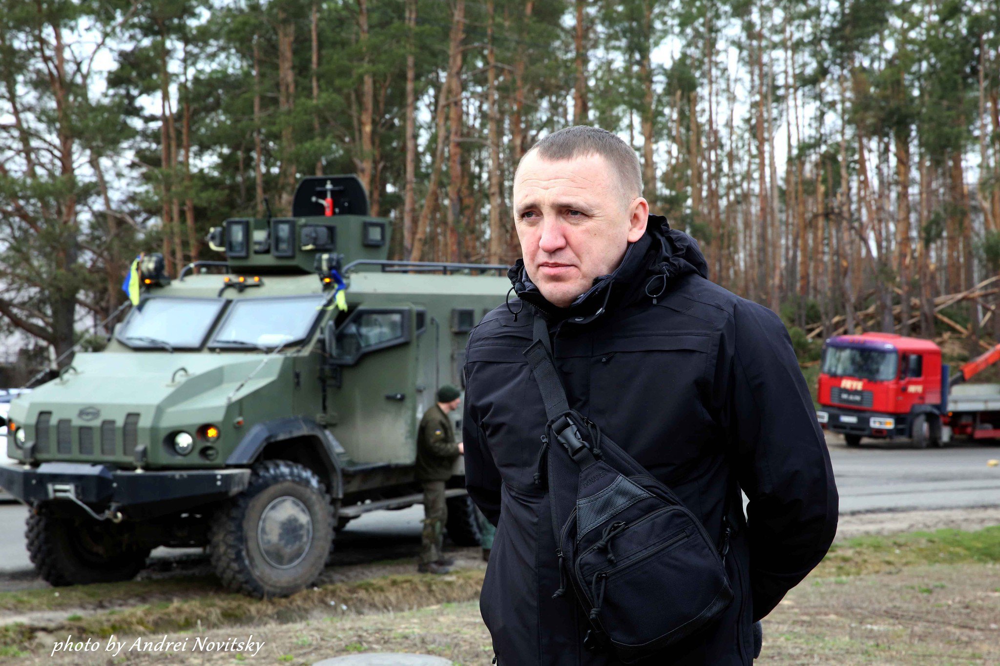
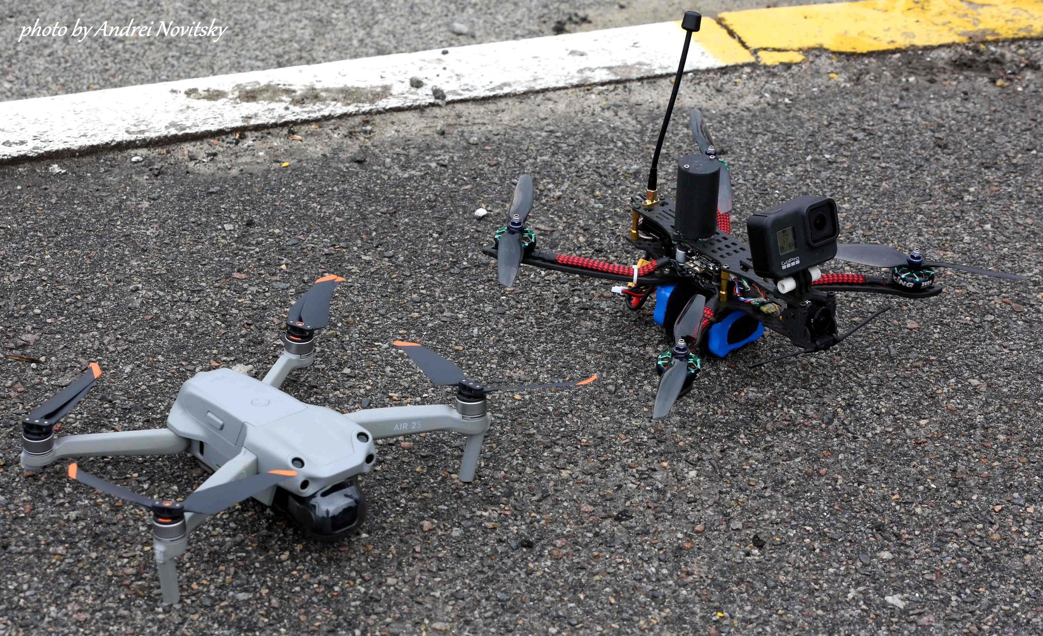
Ministry of Internal Affairs of Ukraine (MIA) together with Google experts has launched a project to digitize the consequences of the russian invasion in the destroyed cities of Ukraine.
According to MIA's Facebook post, the goal of the project is to capture the destruction caused by the russian occupants in Ukrainian cities and villages.
"This project started from the liberated city of Irpin. Several teams are starting work simultaneously. We want to cover all the cities that have suffered the most destruction, which must be recorded. This information will be posted on Google Maps and will be available to the general public. The whole world must see what our cities looked like before and what the aggressor did to them," the Deputy Minister of Internal Affairs of Ukraine Ihor Bondarenko said.


The project will be made public for people who want to have objective data about the area and their real estate.
As reported by the ministry’s press office, a separate service will be created for law enforcement and rescue workers to use as an information and reference resource to coordinate their actions and further register the situation in the region.
The first results will be available next week. Google experts promise to publish the first panoramic photos of destroyed streets and buildings in the city of Irpin.
Oleksiy Kuleba, head of the humanitarian headquarters of the Kyiv Region, said earlier that during the clearing and demining of the liberated settlements of the region, law enforcement agencies are also recording the crimes committed by the russians against the civilian population.


